Civil Surveying
At Seig Land Surveying, we’ve been setting the standard in land surveying and site development since 2002. Founded by Rob and Rita Seig, our family-owned and operated firm is built on expertise, integrity, and a commitment to delivering exceptional service to our clients.
With Rob Seig, a licensed Professional Land Surveyor, leading the way, we specialize in:
✅ Boundary & Land Surveys – Ensuring precision for property owners, developers, and municipalities.
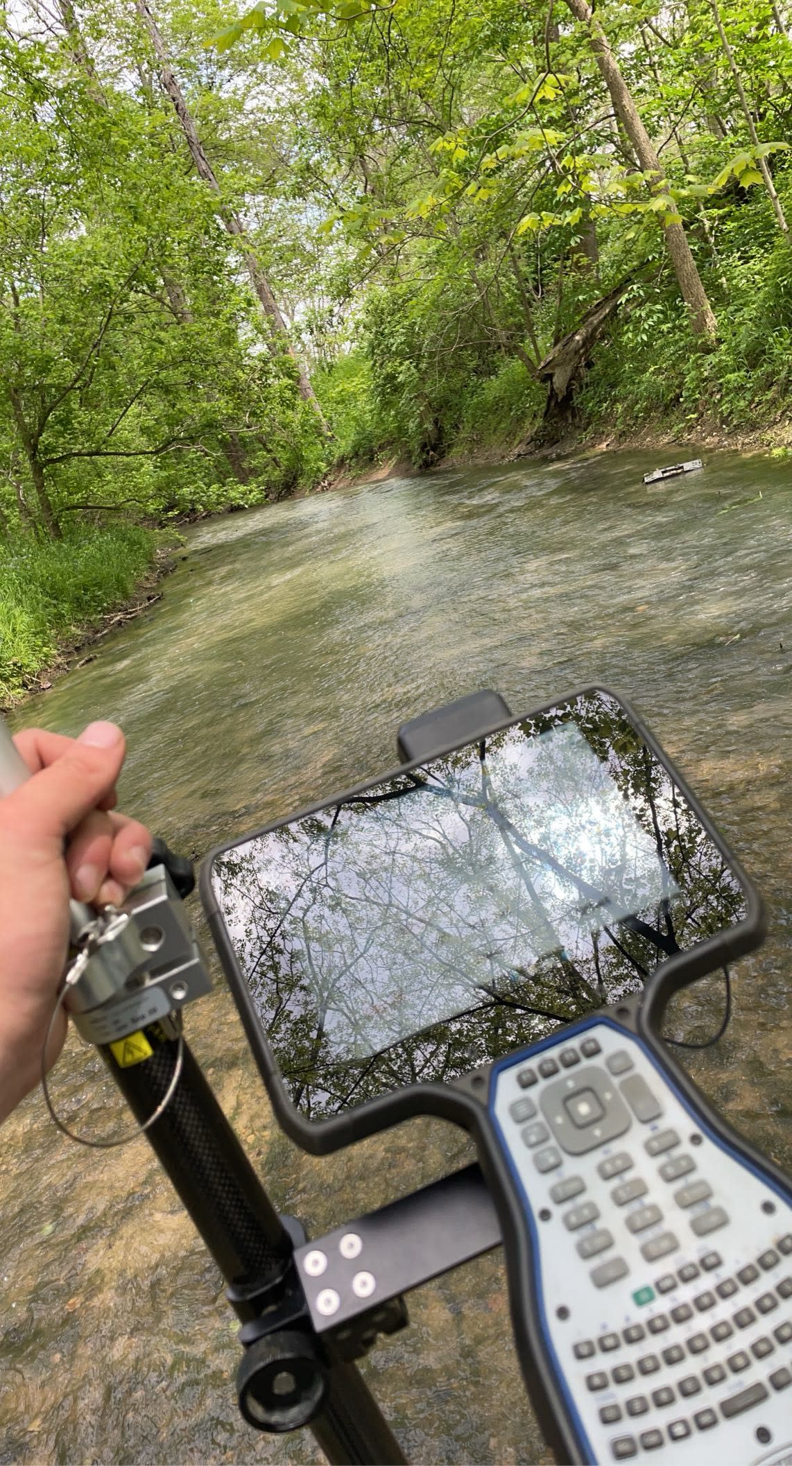
✅ Topographic & LiDAR Mapping – Delivering high-resolution data for architects and engineers to design homes, businesses, and infrastructure with unmatched accuracy.
✅ Site Designs & Subdivisions – Helping shape communities through expertly planned developments.
✅ Drone Services – Cutting-edge Drone LiDAR, Topographic Mapping, Pictometry, and Construction Layout – making us a leader in Southeastern Indiana.
✅ Mortgage Location Reports & ALTA Surveys – Supporting banks, lenders, and real estate acquisitions by providing essential documentation for home buying and commercial transactions. Our ALTA/NSPS Land Title Surveys deliver high-level reporting on property boundaries, structures, and easements for business locations.
